Walk Local
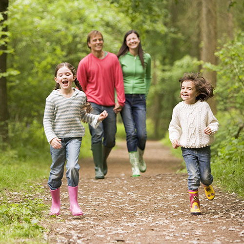 Upper Nidderdale in the Yorkshire Dales is the source of the River Nidd and a stunning place for walkers of all abilities. Heather-clad moorland tops the valley, flowing to lush green meadows and pastures, which are all valuable havens for wildlife.
Touring Park visitors will receive an information pack on booking which details a number of local walks.
At Studfold Reception you will find a map to help with walks, and we also have an onsite display of walk ideas and suggestions.
- Studfold is on the Nidderdale Way, which is, in total, a 53-mile circular route – a real test for ambitious walkers!
- Children's Car Discovery Trail – from Pateley Bridge
- Dale Edge Walk – a well-known all-day walk and mountain bike challenge!
- Ramsgill Circular – half-day walk, you can borrow a map at Studfold, or buy the Ordnance Survey Map: Nidderdale OS Explorer Map
- Stean – circular walk of one hour
- Hackfall Walk near Masham
- Mosaic Walk near Kirby Malzeard
- Please also visit the Walking Page on the Nidderdale National Landscape website for information and walk suggestions.
